
Alabama Scenic River Trail Mile Markers Are Coming to Waterways in the Choctawhatchee River Basin With Your Input and Assistance
A map and waypoints for mile markers on the Pea River from its mouth at Geneva to its headwaters near Union Springs is in hand, as are a map and waypoints from its mouth at Choctawhatchee Bay to the junction of its East and West Forks. Maps and waypoints for the East and West Forks and the Little Choctawhatchee will become available in the fall, as will a may and waypoints for Whitewater Creek, a Pea River tributary.
The next step will involve seeking and obtaining input from first responders, outfitters, paddlers and fisherpersons on placement of mile marker signs. Maps will be distributed in electronic form, with an ask of all to indicate parts of the river where markers are needed most. Clearly, all miles will not be marked. Headwater areas where water levels are not suitable for significant watercraft activities can be omitted. Some open, broad stretches of river unlikely to have hazards will not need mile markers. Areas known to have recurring issues with severe strainers or blockages, areas that require more paddling skills where situations are more likely to occur, and places where rescues have been needed in the past are critical areas for markers.
Once input has been collected and an assessment is made of the suggestions, further discussions will create a final list of markers to be installed.
At that time, assistance will be sought from organizations and individuals who have indicated recently or in the past that they have appropriate boats and want to help with the project. With cooperation from interested parties and individuals, we should be able to have mile markers in place like the sample below before the end of the 2023 water recreation season.
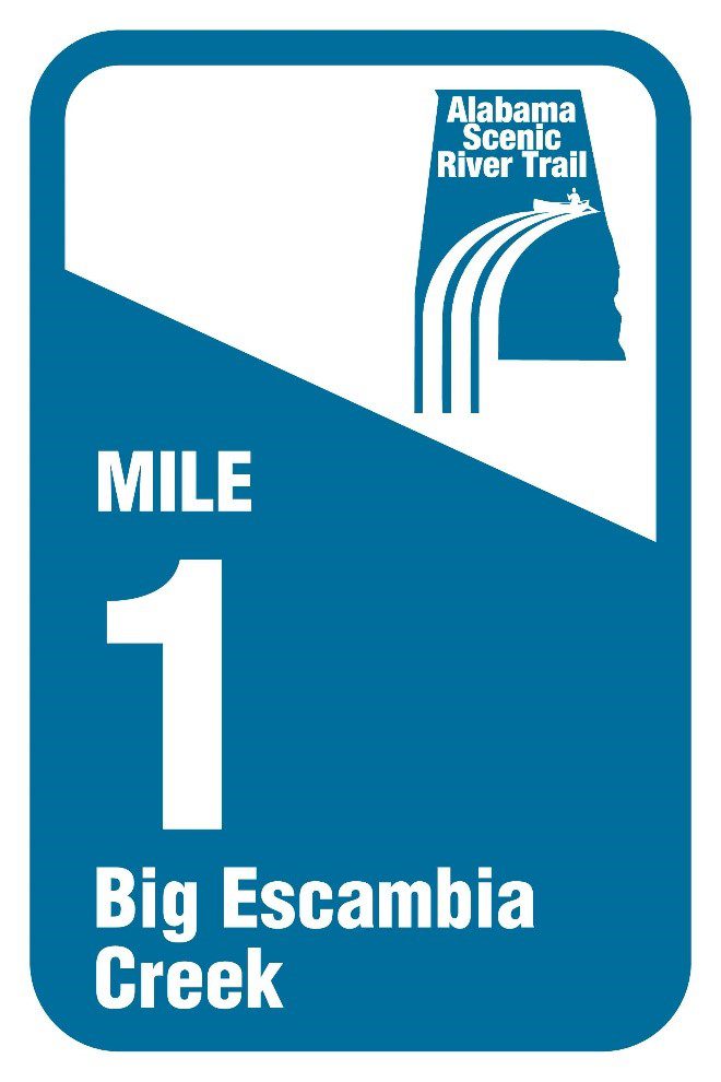
These reflective signs are attached to trees using special screws designed to minimize damage, or in some cases attached to flat surfaces like bridge pilings with a special adhesive.
Signs may not be right on the waypoint due to conditions at that point. In some cases, we may arrange to get signs made, for instance for a bridge not near an even mile.
Michael Mullen
Choctawhatchee Riverkeeper
ASRT Board Member
riverkeeper@troycable.net
Maps will be sent to all rescue squads and other 1st responders we can identify, outfitters, paddle clubs. If you are not in one of these categories and have information to share, please contact me.